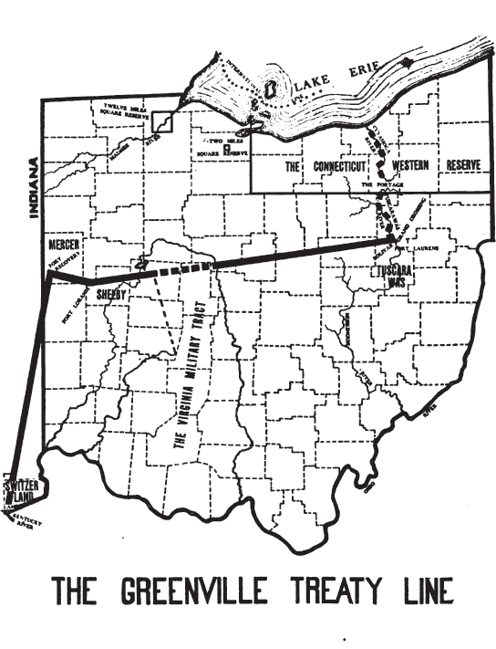
The Indian Removal Act of 1830 authorized the American government to enforce the removal of Native Americans from the eastern United States to lands west of the of the Mississippi River. The Act followed a series of land cession treaties made between 1795 to 1846 that affected tribes in Indiana. Most Indiana tribes were moved between 1830 and 1846. Present-day Oklahoma, was then “Indian Territory”. It was “set aside” for Native Americans forced to relocate west.
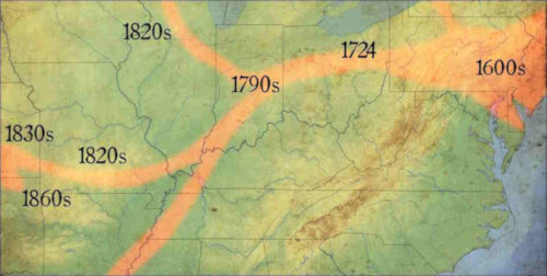
The Lenape (Delaware/and some Munsee) moved well before the Indian Removal Act in 1830. During the Treaty of St. Mary’s in 1818, the Delaware negotiated for a three year wait before they had to move. The Delaware had been in Indiana for only 25 years, coming from a large area in the east, centered around New York and the Delaware River. They spent time in Pennsylvania and the Old Northwest Territory (in present-day Ohio) before coming to land along the White River. The powerful Miami, in the north, gave their permission for the settlement.
In 1820, most Delaware, with some Munsee, left Indiana. On their way to Oklahoma, they lived first in Missouri. The Delaware settled on the James River in Missouri and called it “Anderson’s Village”, after their village in Indiana, “Anderson’s Town”. Both were named after well-respected Chief Anderson. The tribe then moved to Iowa, and lastly, Kansas (1835-1867). Some of the tribe moved to Ontario, Canada, others to Wisconsin. Still others settled in Texas. The tribe splintered into smaller and smaller groups after each move.
The Munsee going to Ontario, Canada became known as the “Munsee of the Thames.” Today they are recognized as a First Nation and are called the “Delaware Nation at Moraviantown“. These were mostly Native Americans who were converted to Christianity by the Moravian missionaries.
The Lenape (Delaware) were perhaps the most moved of all of the Native American tribes. The tribe was pushed ever westward. They sold their land in Kansas after 32 years, when they were once again force to move, and purchased land from the Cherokee in Washington County, Indian Territory (Oklahoma).
The last Delaware Indian in Delaware County was “Indian Jim”. Well-known throughout the community of Munsee Town, Born James Muscoe (1810-1871) to parents, Jake and Sally Moscow (Moscow). Jim hid in a fodder shack when it was time for the Delaware to leave and remained hidden for 15 days before he came out. Judge Lewis Rees took him in and he lived out his life in Delaware County, south of Munsee Town until the judge died in 1852.
Watch the documentary, “The Lenape on the Wapahani River”. This 30-minute documentary was produced in 2014 and details the forced moves of the Lenape from first contact in the 1560’s to present time in Oklahoma.
Many smaller bands and clans of the Delaware and Munsee tribes exist. Some were absorbed into or merged with other tribes as they became smaller in number.
For more information:
Indian Removals in Indiana
The Christian Munsee
Stockbridge-Munsee Band of Mohican Indians
1782 Gnadenhutten Massacre
Chief William Anderson
Gelelemend (John Kilbuck Jr.)—Munsee leader and prominent Moravian native convert
Munsee–a subtribe of the Lenape
The Lenape (Delaware Indians)
Delaware Tribe of Indians