Yorktown/Mt. Pleasant Historical Alliance and Museum

1788 Administration of the Northwest Territory Begins

Governor Arthur St. Clair arrived within the Northwest Territory at Marietta, Ohio to begin administration of civil duties within the territory. St. Clair formally established the territorial government on July 15, 1788. The settlement of Losantiville was renamed by St. Clair to “Cincinnati” in 1790 and he moved the administrative and military center of the territory to Fort Washington.

Fort Washington was in downtown Cincinnati, providing easy access to the Ohio River. The Fort was the major staging area for settlers, troops and supplies during the settlement of the Northwest Territory.

The first written criminal and civil laws of the Northwest Territory were established. Thirty-seven different laws were written with the understanding that the laws had to have been passed previously in one of the thirteen original states. A structured court system was established.

Many early trips west began in Marietta or Cincinnati. The first part of Indiana to be settled was in the south and southwest, along the rivers.
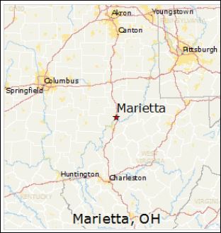
Marietta is on the Ohio River Between Pittsburgh and Cincinnati
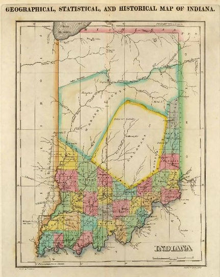
1822 Map of Indiana

The settlement of Indiana happened primarily from the rivers. The south and southwestern parts of Indiana were divided into counties first. Fort Vincennes was established by the French between 1731-1732. The Fort was later was occupied by the British who called it Sackville before it became a possession of the U.S.

Vincennes was used to muster soldiers to fight in the Battle of Tippecanoe in 1811. The soldiers marched along the Wabash to near the confluence of the Tippecanoe and Wabash Rivers. The area is known today as Battle Ground, Indiana. It was there that General William Henry Harrison met the confederacy of tribes led by Tenskwatawa, “The Prophet” for battle. Tenskwatawa was the brother of the great Shawnee warrior, Tecumseh, who was not at the battle.

Vincennes was the first capital of Indiana Territory until it was moved to Corydon on May 1, 1813.
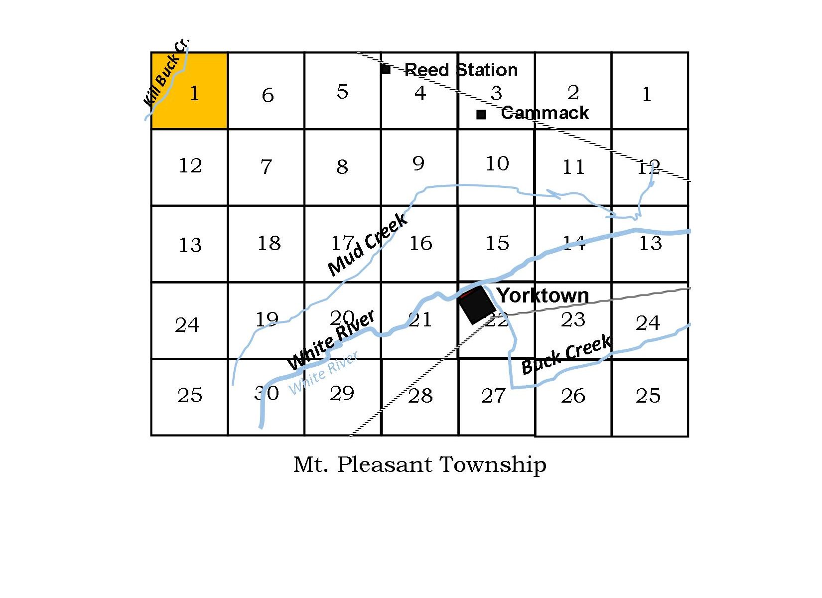
By the Section–#1 NW Mt. Pleasant Township

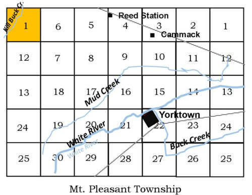
There are two different types of townships in Indiana. One is called a survey township and is about 6 miles by 6 miles square consisting of sections. Those sections are divided up into sections—half sections, quarter sections, and smaller. The survey township is used for determining land ownership; the second, a civil township, is used for governance. As you can see from the map below, the survey and civil counties do not line up for Mt. Pleasant Township. With the “By the Section” column in the newsletter, we will explore the purchases of land in each section of the township. We will begin with Section 1 on the northwest side of the township and in the next newsletter we will discuss the other section 1 on the northeast side of the township. It was a mad dash by investors and pioneers to buy property after the “New Purchase” of land from Native Americans was surveyed.  

n the 1908 History of Delaware County, William Harrison Kemper tries to distinguish between those who settled and made contributions and improvements to the community from the speculators who  purchased land only to make a profit buying and selling cheap land. John S. Ellis had used this distinction in his 1898 Delaware County History as well. We’ll try to do the same.
Section 1, Township 20 (Range 8) northwest side of the township The confluence of Killbuck Creek and Pleasant Run are nearly in the center of this section. As discussed above, the surveyed township sections do not correspond with the civil administration, making two section 1’s in Mt. Pleasant Township. Next newsletter we will look at Section 1, Township 20 on the northeastern part of the township. In 1898, John S. Ellis says “the section has a free gravel pike along the north line, and public roads on the west, through the center and a portion of the south line. This section joins Harrison township on the north and Madison County on the west.”   Section 1 (Range 8) was first purchased by John Nelson Groenendyke (Gronendyke, Groenendike, Groenendijck) in 25 May 1832 with his wife, Elizabeth Smelser, 1807-1898. John was a resident of Fayette County, Indiana as early as 1830. He died in Fayette County in 1886. Thirty acres of the land in Section 1 were sold to his brother, James Groenendyke, and James’ wife Charity Durman in 1840.   John Nelson Groenendyke (1802-1886) and brother, James Groenendyke, Jr. (1812-1871), were two of the 15 children of James Groenendyke, Sr (1770-1836). John Sr. first married Johanna Antonidis and later, after her death, he married Barbara Buck. Johanna is the mother of these two sons. Their family line goes back to Holland, with Pieter (1645-1699) immigrating to “New Amsterdam” (New York) sometime before 1673. They were a Quaker family and records can be found in the Quaker Meeting records.

James’ son, William, was a long-time resident of Mt. Pleasant Township. He married Sarah Elizabeth Stout (1841-1919) and were parents to  James Elliott Groenendyke (1867 – 1953),  Charles T Groenendyke (1880 – 1937),  Cora Jane Groenendyke Hawk (1883 – 1940). The map of 1887 shows section 1 with these occupants: James Groenendyke with 287 acres, George A Jones, Thomas R. Groenendyke 16 acres, J.R. Wellington 25 acres, Alex Stover 48.5 acres, S.B. Mahoney et. al.