Yorktown/Mt. Pleasant Historical Alliance and Museum

George Roger Clark’s Grant in Present-Day Indiana (Clark County)

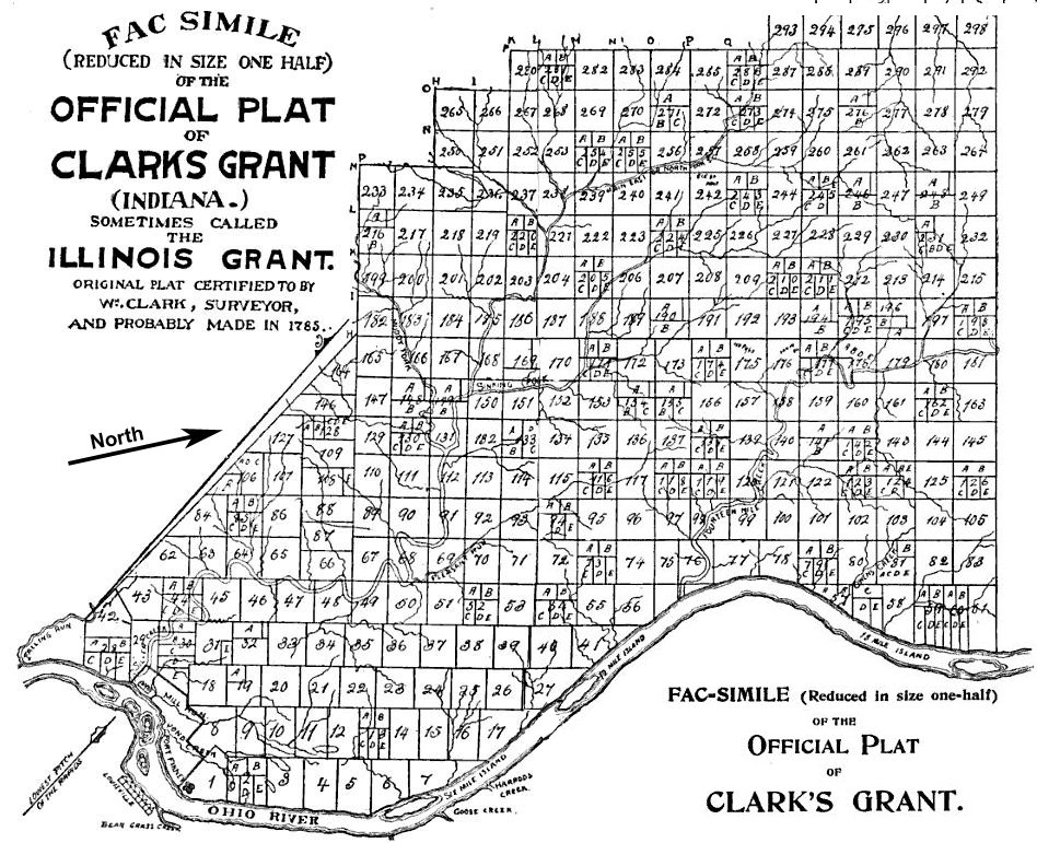
Map: William Hayden – English, William Hayden (©1896). Conquest of the Country Northwest of the River Ohio, 1778–1783, and Life of Gen. George Rogers Clark. Indianapolis: Bowen-Merrill., pages 852, 853 Public Domain.

Land granted by the state of Virginia on January 2, 1781 to George Rogers Clark and the soldiers who fought with him during the American Revolutionary War, became the first authorized settlement in the present-day Indiana. Clark’s Grant contained over 150,000 acres and was located in present-day Clark County, Indiana and parts of the surrounding counties.

Clark’s Grant sat across the river from Louisville, Kentucky on the northwest side of the Ohio River. Clark was certainly familiar with this area before the grant. During the Revolutionary War, he built a post on an island in the Ohio River to train Revolutionary War soldiers from the Virginia militia. He led them in capturing a large part of the Illinois Country as part of the Illinois Campaign. The captured land, which included most of present-day Indiana became Illinois County, Virginia.
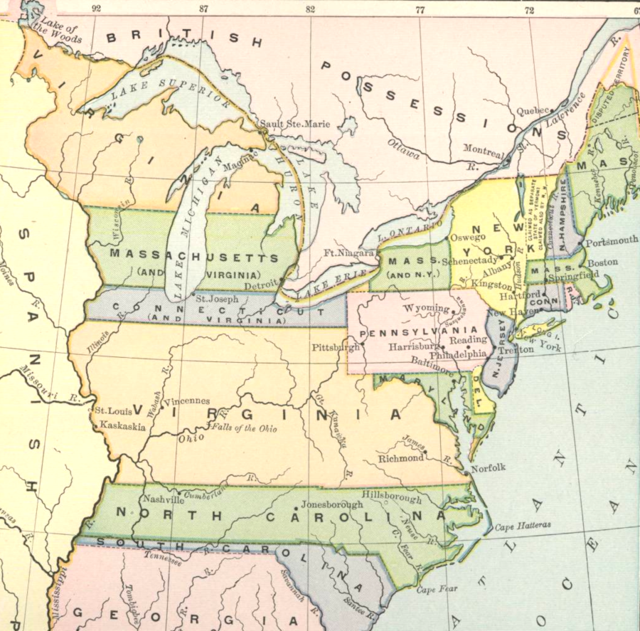
Land Claims east of the Mississippi River

There was little cash to pay men to fight the Revolutionary War. Land was offered as an incentive to get recruits to sign up as soldiers. After the war ended, Virginia granted the soldiers and officers land to compensate them for their service in their militia as did other states and the federal government.
Clark’s Grant

George Rogers Clark

1785-1795 Little Turtle’s War

Little Turtle’s War, also known as the Northwest Indian War, was fought between 1785-1795. Britain ceded the land in the Northwest Territory to the United States after the end of the Revolutionary War but Britain maintained military forts and outposts around the Great Lakes even after that time. The agreement between the U.S. and Britain, the Treaty of Paris (1783), marked the Great Lakes as a boundary between the two countries.

Britain continued to support Native American agitators. Native Americans had a centuries-old history of conflict among themselves over the land surrounding the Great Lakes. In 1785, Native Americans formed the Western Confederation of tribes with the help of Britain to resist European settlers encroaching on the tribal lands. The tribes also wanted all land north of the Ohio River This is considered to be the first conflict of the United States Indian Wars.

The United States was defeated badly in Harmar Campaign in 1790 and St. Clair’s Defeat in 1791. The St. Clair’s Defeat cost the lives of 1,000. President Washington sent General “Mad Dog” Anthony Wayne to lead the forces to enforce land rights in the Northwest Territory. (Note: Ft. Wayne, Indiana is named for Anthony Wayne.)

Unknown to the Western Confederacy who thought that Britain would help them, the Brits had signed the Jay Treaty in 1795 which gave assurances to the U.S. that Britain would no longer aid the Native Americans.

In 1794, General Wayne won a decisive victory in the Battle of Fallen Timbers on August 20, 1794.

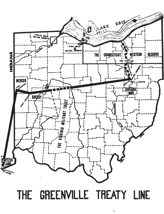
After the defeat of the Western Confederacy, the Native Americans were compelled to sign the Treaty of Greenville in 1795. The treaty, included the Delaware, Wyandot, Shawnee, Ottawa, Chippewa, Potawatomi, Miami, Wea, Kickapoo, and Kaskaskia tribes. The treaty redefined the boundary between the U.S. and Native American land. This line was known as the Greenville Treaty Line. The treaty gave a large swath of land to the United States government that included northwestern Ohio and a strip of land in southern Indiana.

(Map from Ohio Lands and Their Subdivisions (1918) page 98)